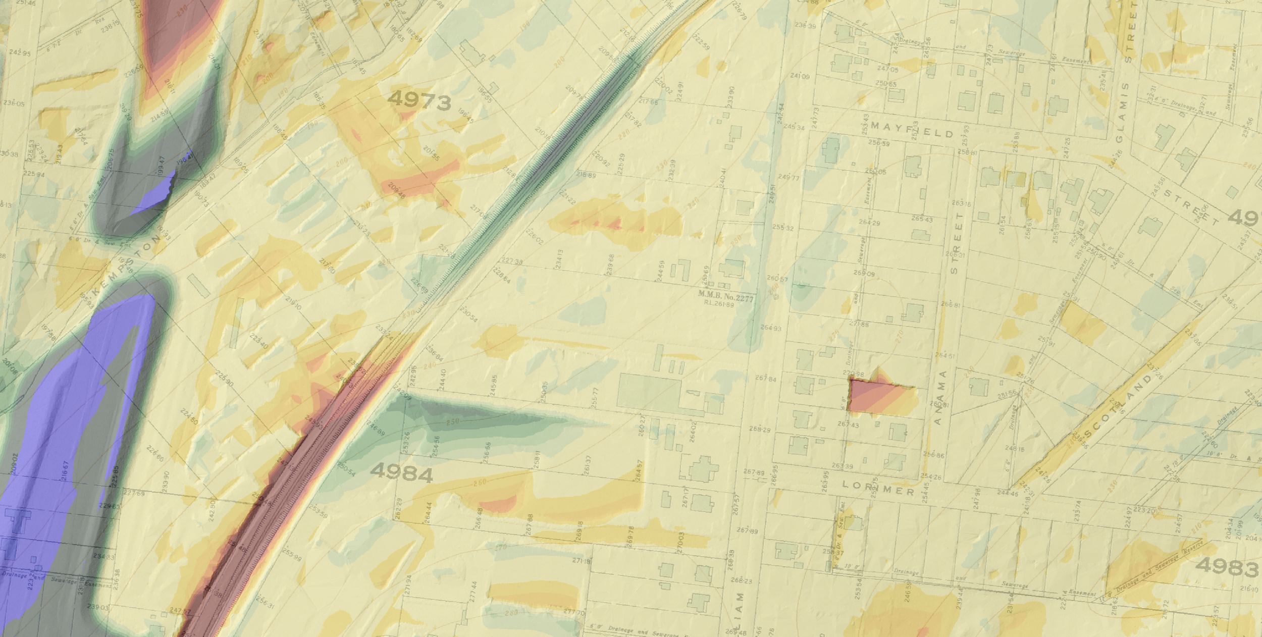
Smarter assessments for better-informed land management.
About Hillshade
Hillshade Consulting is a specialist consultancy that delivers historical landscape change assessments, elevation change modelling, archival research, and specialist mapping support. Through the integration of historical records with modern spatial technologies, Hillshade helps organisations better understand how landscapes have changed through time.
Founded by Dr Greg Hil, Hillshade combines historical survey data, aerial imagery, LiDAR, archival research, and Geographic Information Systems (GIS) to deliver practical, evidence-based assessments for heritage consultancies, Registered Aboriginal Parties, government agencies, and developers, supporting better decision making, reduced project risk, and improved project outcomes.
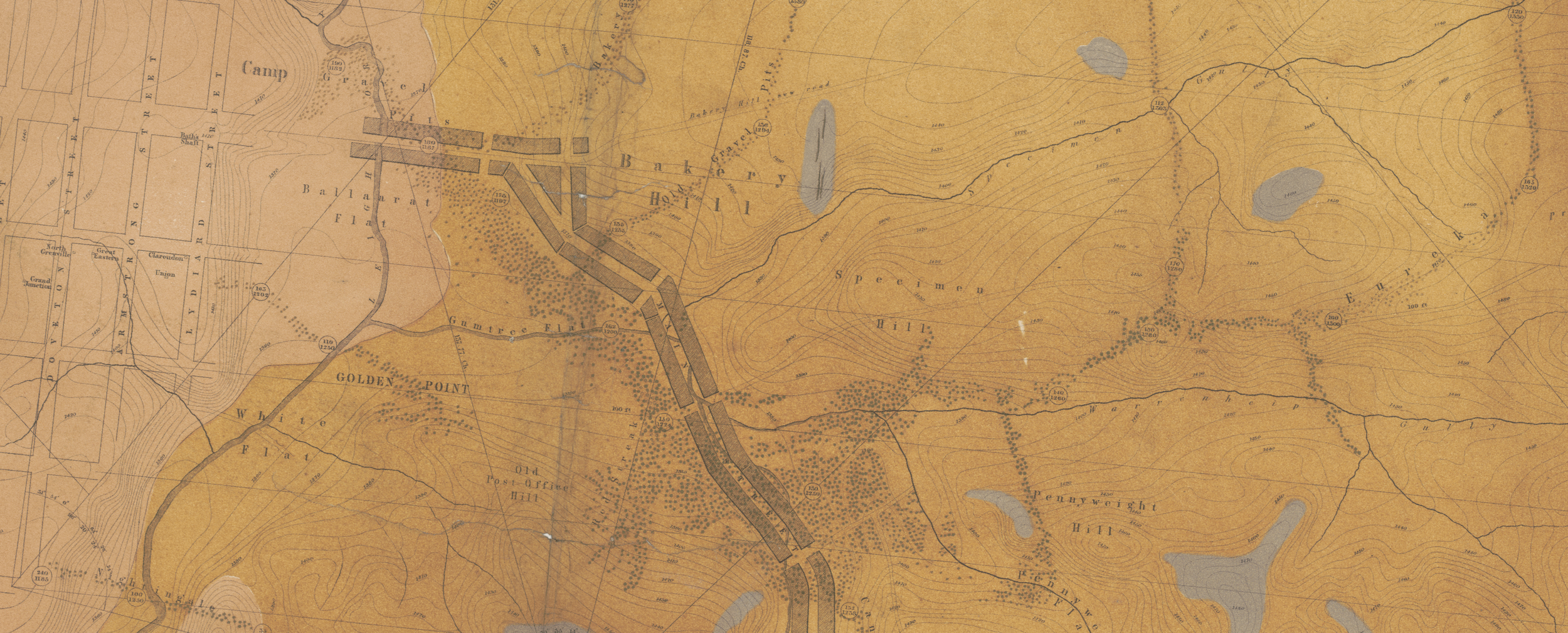
Where history meets spatial science.
Integrating archival research with modern spatial technologies to reconstruct historical landscapes.
Why Hillshade
- Built on more than a decade of professional experience in cultural heritage and archaeology
- Led by a PhD-qualified archaeologist with specialist expertise in GIS and historical landscape analysis
- Demonstrated experience supporting major road, rail, and infrastructure projects across Victoria
- Published research on historical landscape change, mining impacts, and terrain reconstruction
Hillshade offers a suite of specialist services that can be delivered individually or integrated into broader assessments or projects.
Our Services
Understand how historical landscape change has impacted your study area through the integration of archival research, mapping, elevation change modelling, and modern spatial technologies.
Assess the legacy of historical mining within your study area, including the identification of sludge (tailings), mine workings, and other evidence of historical mining activities.
Create high-resolution 3D models and visualisations to support archaeological recording, strengthen heritage assessments, and enhance project communication from fieldwork through to reporting. Hillshade can help you source and process LiDAR datasets into sub-metre DEMs.
Specialist GIS mapping and spatial analysis services for projects requiring tailored geospatial solutions.
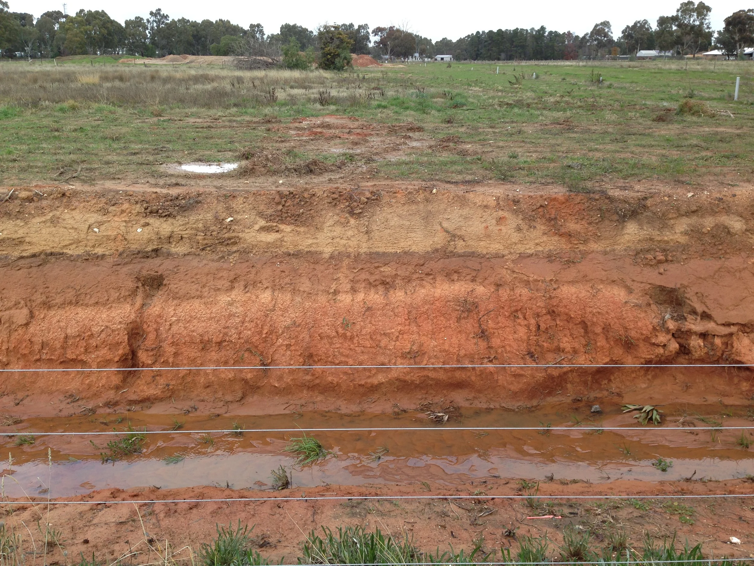
…because looks can be deceiving.
A pre-mining ground surface near Bendigo Creek capped by a metre of mining ‘sludge’ during the 1850s.
Contact Hillshade
Get in touch to discuss your project or request an obligation-free quotation.